A familiar outline becomes a building
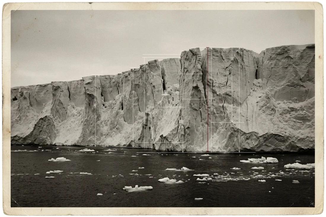
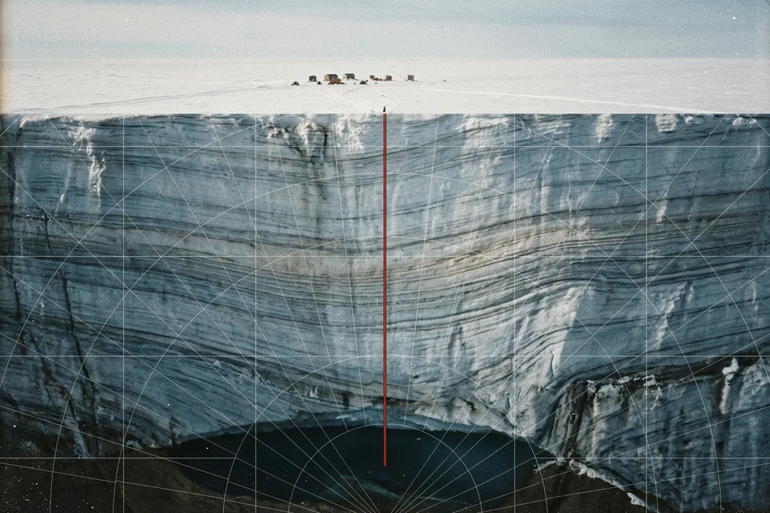
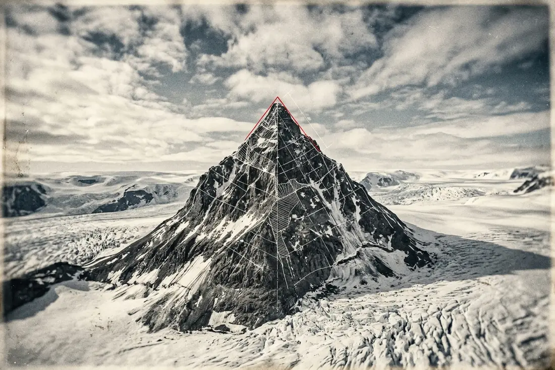
The Antarctic pyramid claim starts with something visible: steep, approximately triangular rock faces projecting above snow and ice. It interprets their symmetry as deliberate construction, with the buried portion supplying the rest of a vast monument. A dark face beside a bright face can make the surviving edges look unusually clean.
The useful question is what the shape requires. A triangular outline gives a silhouette, while a built pyramid also has a foundation, materials and an arrangement of faces in three dimensions. Before comparing slopes, the line being measured needs a name: a face, a ridge, or the edge of a shadow.
Glaciers already make pointed, faceted peaks
The US Geological Survey calls a pointed summit enclosed by the walls of several glacial cirques a horn. A cirque is a hollow excavated near the head of a glacier. As neighboring hollows erode back into a mountain, they leave steep faces separated by sharp ridges. Their intersection can produce a pyramidal peak without assembling a single block.
NASA’s aerial photographs of the southern Antarctic Peninsula show rocky summits surrounded by flowing ice. Snow conceals lower slopes and fills valleys, while exposed rock stands out sharply against it. The visible boundary is therefore partly a rock-and-snow boundary. It can crop an irregular mountain into a much simpler-looking object.
There is also a mapped example with the name already attached. The USGS’s 1965 study of the Taylor Glacier region describes Pyramid Mountain’s sandstone and intrusive sheets of diabase. Its photographs and geological sections follow those rock bodies into the surrounding landscape. Here, long lines across a mountain are contacts between rocks, with a field record behind them.
A face and a corner take different routes uphill
Give the shape every advantage: use a perfectly symmetrical peak above a square base. The opening example rises 500 metres, with 500 metres from the base centre to the midpoint of a side. These are adjustable geometric assumptions, not surveyed dimensions of the mountain in a particular photograph.
The steepest line up a face climbs 500 metres over a horizontal run of 500 metres. Its slope is arctan(500/500), or 45 degrees. A ridge runs from a base corner to the summit. Its horizontal run is the half-diagonal of the square: 500 times the square root of two, about 707 metres. The same climb now produces a slope of about 35.3 degrees.
Raise the peak while holding its base fixed and both slopes steepen. Widen the base and both flatten. Doubling height and width together preserves both angles. The difference between face and ridge remains built into the geometry, so comparing an edge in one view with a face in another can create a false mismatch. A photograph also projects those three-dimensional lines onto a flat image.
Compare the face with the ridge
Choose a square-based peak’s relief and half-width. The two slopes belong to the same idealized shape; these dimensions are assumptions you can vary.
The angle measured on a line from the midpoint of a base side straight to the summit.
The ridge has a longer horizontal run, so its slope is shallower.
Two different angles occur within this single perfectly symmetrical shape.
Working tape
- Face rise divided by horizontal run
500 ÷ 500 = 1 - Face angle in radians
atan(1) = 0.785398 - Face angle in degrees
0.785398 × 57.29578 = 45 - Square diagonal divided by its side
√(2) = 1.414214 - Horizontal run from corner to centre
500 × 1.414214 = 707.106781 - Ridge rise divided by horizontal run
500 ÷ 707.106781 = 0.707107 - Ridge angle in radians
atan(0.707107) = 0.61548 - Ridge angle in degrees
0.61548 × 57.29578 = 35.26439 - Difference between face and ridge slopes
45 − 35.26439 = 9.73561
The same peak gives 45 degrees and 35.3 degrees
The opening geometry produces a 45-degree face and a 35.3-degree ridge, a difference of about 9.7 degrees within one symmetrical object. A clean triangular shape can therefore generate several plausible-looking angles, depending on which line is selected. Matching a familiar slope requires a measured surface and a defined viewing geometry.
The Antarctic landscape supplies the rest of the explanation: erosion cuts faces, rock structure supplies persistent boundaries, and snow hides parts of the terrain. Geological mapping follows the materials through the mountain. The striking outline is the visible intersection of that rock, ice and viewpoint.
Why people believe it
Satellite images that circulate online show triangular peaks with sharp ridges, and our eyes read straight, regular edges as human. A pyramidal peak is a horn, the product of several glaciers cutting back into a mountain from different sides until a steep-sided peak with sharp ridges remains. The Matterhorn in the Alps is the best known example, and horns occur in mountain ranges around the world. The Ellsworth Mountains of Antarctica include the Vinson Massif and ridges cut by ice in the same way. Lighting adds to the effect: a sunlit face beside a shadowed face looks like two crisp planes.
Where to test it
The face slope and the ridge slope of a square-based pyramid differ by a fixed geometric relationship, and a glacial horn matches the relationship loosely rather than exactly. Enter a peak height and half-width to see the two angles.