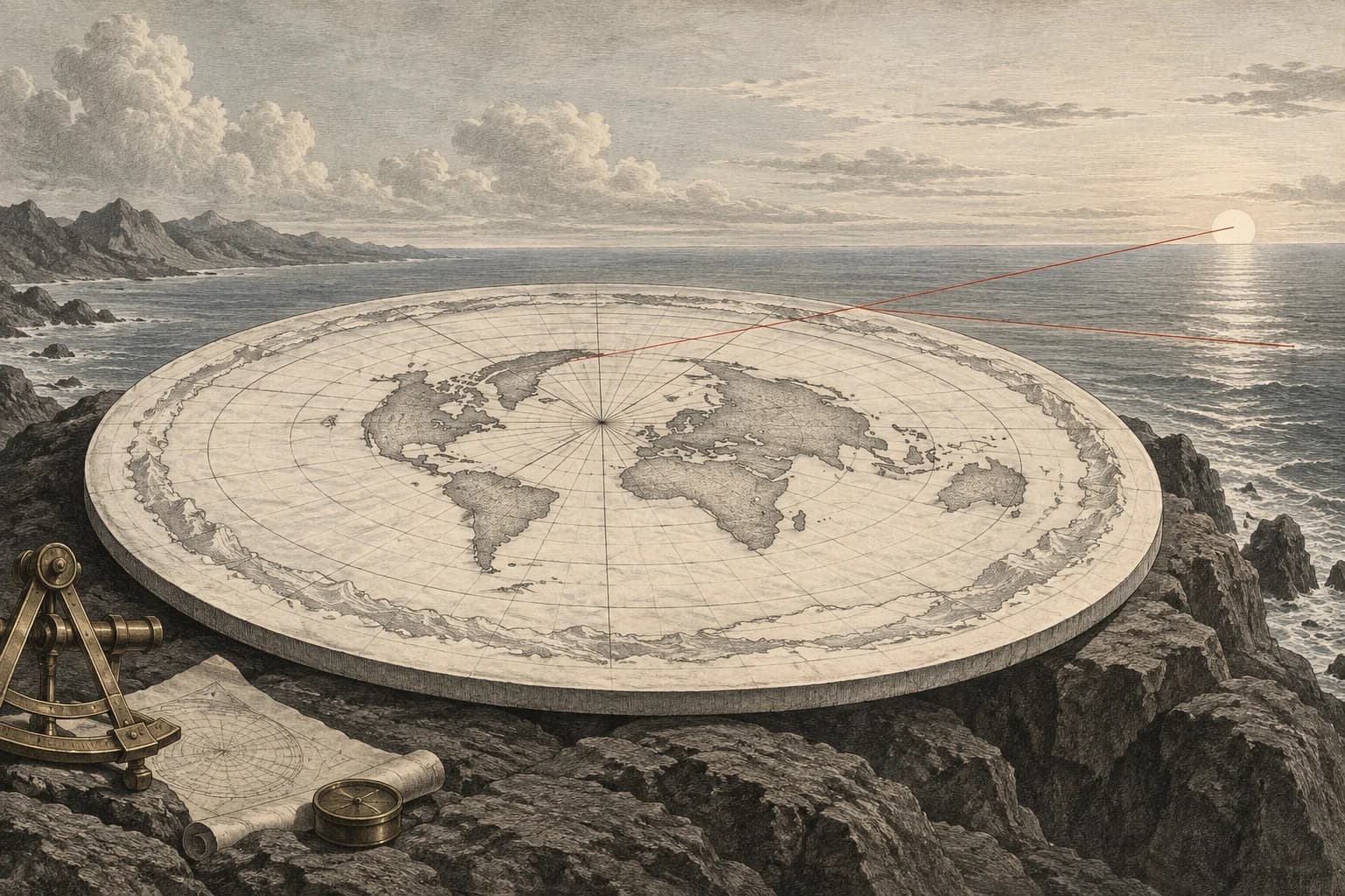
Local level is extended across the world
The claim is that water seeks its level, so a large body of water must form a single flat surface. Its immediate evidence is familiar: the sea does not look like a mound from the beach. The step requiring examination is the extension of a local horizontal into a plane that stays horizontal everywhere.
Level depends on the direction of gravity where it is measured. A local tangent plane can be horizontal at one location and cease to be horizontal elsewhere on a curved surface. Keeping this distinction allows water to be locally level all along a surface whose direction changes gradually with position.
The observer stands above the surface being viewed
Surveyors describe the gravity-related reference for global mean sea level as the geoid. It is curved and gently irregular because Earth’s shape and mass distribution are irregular. Remove tides and currents from the ocean and its equilibrium surface follows that gravity field. The geoid is also extended through land to provide a reference for elevations.
For the horizon calculation, replace that detailed surface with a sphere. The last unobstructed straight ray from an elevated eye just touches it. The touching point is the geometric horizon. An eye above the water therefore looks slightly downward toward that boundary, even though the nearby surface is locally level.
A distant target can also extend above its own horizon. Seeing the upper part of a lighthouse or a mast beyond the distance to the observer’s water horizon is not an exception to the geometry. Both endpoint heights matter. A claim based only on the camera height has omitted a measurable part of the sightline.
Two heights determine the available sightline
A radius drawn to a tangent point meets the sightline at a right angle. For Earth radius R and observer height h, the right triangle gives the straight distance d = √[h(2R + h)]. The same calculation applies to the target’s height. At the limiting shared sightline, those two tangent distances add together.
The opening assumptions place the eye 2 metres above the water and the target’s top 10 metres above it. With JPL’s mean Earth radius, the observer’s tangent distance is about 5.05 kilometres. The target contributes about 11.29 kilometres. The maximum unobstructed straight sightline between those heights is therefore about 16.34 kilometres.
The larger combined result is not a claim that the observer can see water itself that far away. The target stands above the water. Set its height to zero to recover the distance to a point on the surface. Raise either endpoint and more distance becomes available; at heights small compared with Earth’s radius, quadrupling one height approximately doubles that endpoint’s horizon distance.
These are straight-ray distances over a smooth sphere. For an actual observation, use the height above the intervening water, including the local water level, and account for any terrain. Atmospheric refraction bends the light path and can change the visible range. A photograph taken through an unknown near-water temperature profile does not supply a measured straight ray.
How far can these two heights see?
Enter eye height and target-top height above the same water surface. The calculation uses straight light rays over a smooth sphere and reports line-of-sight lengths.
The two tangent lengths combined; refraction and intervening obstructions are absent from this geometry.
Straight distance from the eye to the tangent point on the water.
An elevated target contributes its own tangent distance.
Working tape
- Twice Earth’s radius
6,371,008.4 × 2 = 12,742,016.8 - Earth diameter + eye height
12,742,016.8 + 2 = 12,742,018.8 - Eye height × adjusted diameter
2 × 12,742,018.8 = 25,484,037.6 - Observer tangent distance
√(25,484,037.6) = 5,048.171709 - Earth diameter + target height
12,742,016.8 + 10 = 12,742,026.8 - Target height × adjusted diameter
10 × 12,742,026.8 = 127,420,268 - Target tangent distance
√(127,420,268) = 11,288.058646 - Add the two tangent distances
5,048.171709 + 11,288.058646 = 16,336.230355 - Convert the sightline to kilometres
16,336.230355 ÷ 1,000 = 16.33623
Separate curvature drop from hidden height
Enter surface arc distance and eye height. Drop is measured below the observer’s tangent plane; hidden height is the minimum radial target height that clears the horizon. Refraction k is an assumed uniform ray-curvature fraction, not measured weather.
Unit changes preserve the same physical inputs. The working tape stays in SI units.
Minimum radial height at the target needed to meet the limiting ray; zero before the observer’s horizon.
A different quantity from hidden height: vertical displacement below the observer’s local tangent plane.
An arc length, unlike the straight tangent length in the first instrument.
Working tape
- 1 − refraction coefficient
1 − 0 = 1 - Effective spherical radius R/(1 − k)
6,371,008.4 ÷ 1 = 6,371,008.4 - Surface distance in metres
20 × 1,000 = 20,000 - Distance ÷ effective radius
20,000 ÷ 6,371,008.4 = 0.003139 - Effective radius + eye height
6,371,008.4 + 2 = 6,371,010.4 - Radius ÷ raised eye radius
6,371,008.4 ÷ 6,371,010.4 = 1 - Angle to the eye horizon
acos(1) = 0.000792 - Target angle beyond the eye horizon
0.003139 − 0.000792 = 0.002347 - Keep zero before the horizon
max(0, 0.002347) = 0.002347 - Cosine of remaining angle
cos(0.002347) = 0.999997 - Reciprocal cosine
1 ÷ 0.999997 = 1.000003 - Secant minus one
1.000003 − 1 = 0.000003 - Minimum target height above surface
6,371,008.4 × 0.000003 = 17.544924 - Surface distance ÷ physical Earth radius
20,000 ÷ 6,371,008.4 = 0.003139 - Cosine of full surface angle
cos(0.003139) = 0.999995 - One minus cosine
1 − 0.999995 = 0.000005 - Drop below local tangent plane
6,371,008.4 × 0.000005 = 31.392179 - Effective radius × dip angle
6,371,008.4 × 0.000792 = 5,048.170652 - Observer surface-arc horizon
5,048.170652 ÷ 1,000 = 5.048171
The boundary is close because the observer is low
For an eye 2 metres above the water, the geometric water horizon is about 5.05 kilometres away. A target standing 10 metres above the same surface extends the available straight sightline to about 16.34 kilometres. Its height accounts for the extra range beyond the observer’s own water horizon.
The nearby horizon gives a low observer a small view of a large curved surface. Raising either endpoint extends that view while the water remains locally level under gravity. Comparing an observation with these distances requires both endpoint heights and the light path: refraction changes the path, while a taller target changes the geometry.