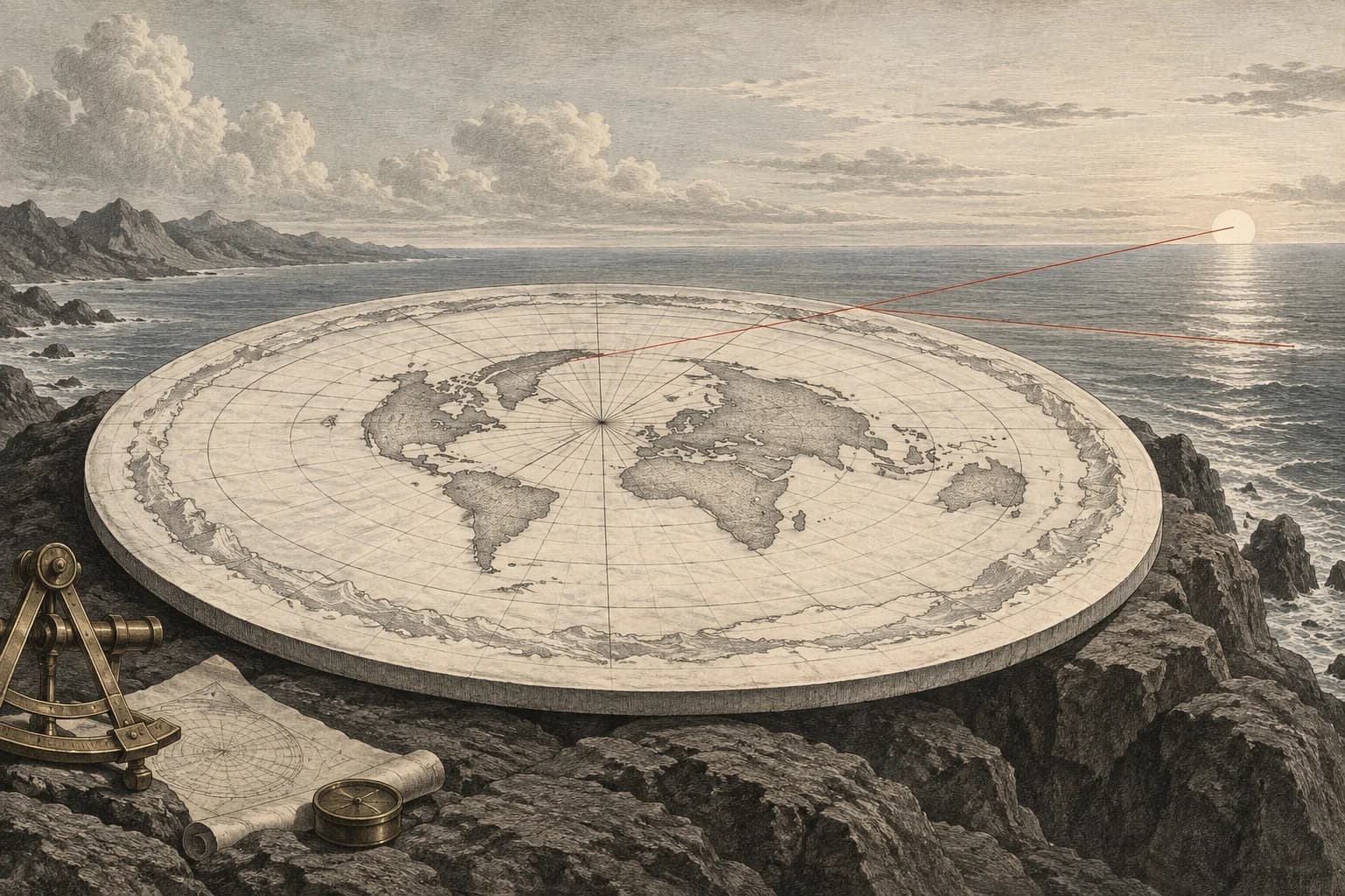
A familiar drawing becomes a physical surface
The claim is that a north-centred disk map can serve as the literal shape of the world because it places familiar continents in familiar directions. Some distances on such a map work well by construction. That success is treated as evidence that the rest of its distances need no separate examination.
A map can be useful while changing geometry. The meaningful question is what happens when one fixed scale must describe movement in every direction. If a drawing needs a different scale along different paths, reading all of it as one physical surface changes the lengths of those paths.
Equidistant has a centre
The azimuthal equidistant projection preserves distance and direction from its chosen centre. In its north-polar form, meridians radiate outward and latitude circles become concentric rings. A point’s map radius is proportional to its distance along a meridian from the North Pole. This is a genuine and useful property, not a mistake in the map.
But the guarantee is tied to that centre. Cartographic documentation distinguishes the straight radial directions, where scale is true, from the growing distortion away from the centre in other directions. The same general tradeoff occurs in other projections: preserving one selected property does not preserve every area, direction, shape and distance.
A parallel of latitude makes a particularly clean test because it is a circle in both constructions. On the sphere, its radius shrinks toward either pole. On the north-polar map, its radius keeps increasing as latitude moves south. The northern and southern halves therefore cannot retain matching parallel lengths under one radial scale.
Follow the parallel in both drawings
Choose a latitude and an angular span of longitude. The instrument follows the latitude circle, not the shortest flight route between its endpoints. For spherical Earth radius R and latitude φ, the parallel radius is R cos φ. On the north-centred equidistant map, the corresponding ring radius is R(π/2 − φ), with angles expressed in radians.
Multiply each radius by the chosen longitude span in radians to obtain the two arc lengths. At the opening example of 45 degrees south and a 90-degree longitude span, the spherical parallel arc is about 7,076 kilometres. The map arc, read using the true radial scale, is about 23,580 kilometres. The map stretches that same parallel arc by a factor of about 3.33.
Changing the longitude span lengthens or shortens both arcs in direct proportion, so the distortion factor stays the same at a given latitude. Changing latitude is what changes the disagreement. The northern comparison preset demonstrates why the map looks more convincing around its centre: at 45 degrees north, the factor is about 1.11.
The map’s centimetres are not in dispute. These kilometre values ask what those centimetres would mean if the radial scale were also valid sideways. A mapmaker handles the distinction by specifying the projection. Treating the page as a literal terrain model removes that distinction and turns a documented distortion into a prediction about travel.
Measure the same latitude arc on both maps
Select a latitude and longitude span. Compare travel along that parallel on a sphere with its north-polar equidistant map arc, using the map’s true radial scale.
A value above one means the map arc is stretched relative to the spherical parallel.
Distance following the selected latitude circle on the sphere.
What the map arc would mean if its true radial scale also applied sideways.
Working tape
- Radians per degree
3.141593 ÷ 180 = 0.017453 - Latitude in radians
(-45) × 0.017453 = -0.785398 - Angular distance from the North Pole
90 − (-45) = 135 - Pole distance in radians
135 × 0.017453 = 2.356194 - Cosine of latitude
cos(-0.785398) = 0.707107 - Longitude span in radians
90 × 0.017453 = 1.570796 - Sphere radius × cosine latitude × span
6,371.0084 × 0.707107 × 1.570796 = 7,076.41113 - Sphere radius × pole angle × span
6,371.0084 × 2.356194 × 1.570796 = 23,579.749704 - Map arc ÷ sphere arc
23,579.749704 ÷ 7,076.41113 = 3.332162
Compare two endpoints, not a latitude arc
Use signed latitude and longitude. The sphere result is the shortest great-circle arc; the disk result is a straight line on the north-polar azimuthal-equidistant map at its radial scale. Neither includes airline waypoints or winds.
Shortest spherical surface arc between the two specified endpoints.
Euclidean distance on the projection at its true radial scale.
The difference between these two specifically defined paths, not an observed airline distance.
Working tape
- Start latitude in radians
(-45) × 0.017453 = -0.785398 - End latitude in radians
(-45) × 0.017453 = -0.785398 - Longitude difference
90 − 0 = 90 - Longitude difference in radians
90 × 0.017453 = 1.570796 - Sine start latitude
sin(-0.785398) = -0.707107 - Sine end latitude
sin(-0.785398) = -0.707107 - Cosine start latitude
cos(-0.785398) = 0.707107 - Cosine end latitude
cos(-0.785398) = 0.707107 - Cosine longitude difference
cos(1.570796) = 6.12e-17 - Product of latitude sines
(-0.707107) × (-0.707107) = 0.5 - Product of latitude cosines and longitude cosine
0.707107 × 0.707107 × 6.12e-17 = 3.06e-17 - Spherical unit-vector dot product
0.5 + 3.06e-17 = 0.5 - Roundoff lower bound
max(-1, 0.5) = 0.5 - Roundoff upper bound
min(1, 0.5) = 0.5 - Shortest central angle
acos(0.5) = 1.047198 - Great-circle surface distance
6,371.0084 × 1.047198 = 6,671.704395 - Start angular distance from North Pole
90 − (-45) = 135 - End angular distance from North Pole
90 − (-45) = 135 - Start map radius
6,371.0084 × 135 × 0.017453 = 15,011.334889 - End map radius
6,371.0084 × 135 × 0.017453 = 15,011.334889 - Start radius squared
15,011.334889 ^ 2 = 225,340,175.151184 - End radius squared
15,011.334889 ^ 2 = 225,340,175.151184 - Sum squared map radii
225,340,175.151184 + 225,340,175.151184 = 450,680,350.302368 - Twice radii product × longitude cosine
2 × 15,011.334889 × 15,011.334889 × 6.12e-17 = 2.76e-8 - Map chord squared
450,680,350.302368 − 2.76e-8 = 450,680,350.302368 - Roundoff lower bound
max(0, 450,680,350.302368) = 450,680,350.302368 - Straight-line distance on polar map
√(450,680,350.302368) = 21,229.233389 - Map distance minus spherical distance
21,229.233389 − 6,671.704395 = 14,557.528994
The missing scale returns in the southern arcs
At 45 degrees south, the north-polar equidistant map stretches a latitude arc by a factor of about 3.33 when read at its true radial scale. The 90-degree example becomes about 23,580 kilometres on the disk, compared with about 7,076 kilometres along the spherical parallel. Changing the arc length leaves that multiplier unchanged.
The projection preserves distances from the North Pole by allowing distances around its rings to expand. Those two directions cannot share one uniform scale. Its orderly meridians and recognisable continents make it useful as a map; their appearance does not remove the measurable sideways stretch.